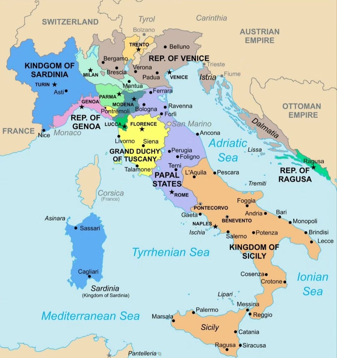
@scarlett_sItaly in 1796 🗺️ #InfoEditorials
عرض المنشور الأصلي@scarlett_sItaly in 1796 🗺️ #InfoEditorials
عرض المنشور الأصليصورة بواسطة @scarlett_s· Sep 14, 2026· Info/Editorials
The image is a historical map of Italy. It shows various regions and kingdoms with their borders and names. The map is colorful and detailed, with a clear layout of geographical features and political divisions. The style is educational and informative, presenting a snapshot of Italy's political landscape at a specific historical period. Notable elements include the distinct colors used for each territory and the clear labeling of cities and bodies of water. ON-SCREEN TEXT: KINDGOM OF SARDINIA, FRANCE, SWITZERLAND, TYROL, CARINTHIA, AUSTRIAN EMPIRE, OTTOMAN EMPIRE, REP. OF VENICE, REP. OF GENOA, GRAND DUCHY OF TUSCANY, PAPAL STATES, KINGDOM OF SICILY, REP. OF RAGUSA, Corsica (France), Sardinia (Kingdom of Sardinia), Mediterranean Sea, Tyrrhenian Sea, Adriatic Sea, Ionian Sea.
 Made in China brands map
 world map of 1700 urban centers
 2Hurun Global Rich List 2026 billionaire cities
 3Giorgia Meloni Italy
 Sheep density map of Europe
 2Numbeo Safety Index 2026 top cities
 4India Destination of the Year 2027
 World map country sizes
 2Numbeo affordable cities 2026
 main European regions map
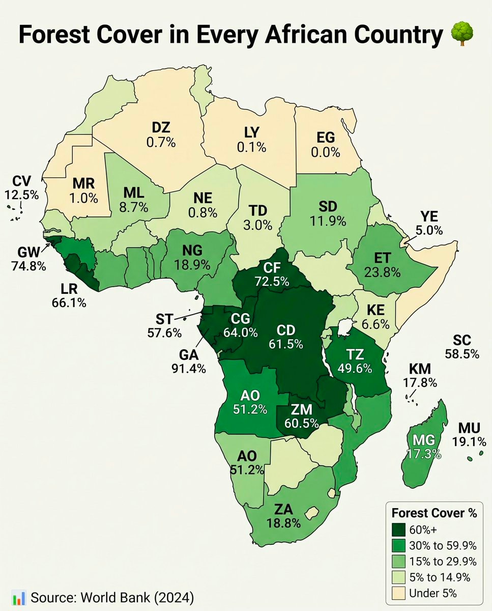 Africa forest cover by country
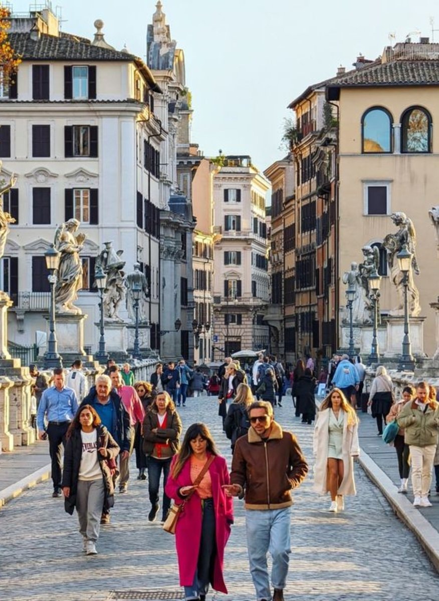 2Rome Italy most walkable city
 Asian Country Urban Population Map
 2Global Nuclear Power Capacity 2025
 US State population under 25 share
 2Lionel Messi jersey stars
@scarlett_sItaly in 1796 🗺️ #InfoEditorials
عرض المنشور الأصليصورة بواسطة @scarlett_s· Sep 14, 2026· Info/Editorials
The image is a historical map of Italy. It shows various regions and kingdoms with their borders and names. The map is colorful and detailed, with a clear layout of geographical features and political divisions. The style is educational and informative, presenting a snapshot of Italy's political landscape at a specific historical period. Notable elements include the distinct colors used for each territory and the clear labeling of cities and bodies of water. ON-SCREEN TEXT: KINDGOM OF SARDINIA, FRANCE, SWITZERLAND, TYROL, CARINTHIA, AUSTRIAN EMPIRE, OTTOMAN EMPIRE, REP. OF VENICE, REP. OF GENOA, GRAND DUCHY OF TUSCANY, PAPAL STATES, KINGDOM OF SICILY, REP. OF RAGUSA, Corsica (France), Sardinia (Kingdom of Sardinia), Mediterranean Sea, Tyrrhenian Sea, Adriatic Sea, Ionian Sea.
لا توجد تعليقات بعد. كن أول من يعلّق!
Made in China brands mapworld map of 1700 urban centers2Hurun Global Rich List 2026 billionaire cities3Giorgia Meloni ItalySheep density map of Europe2Numbeo Safety Index 2026 top cities4India Destination of the Year 2027World map country sizes2Numbeo affordable cities 2026main European regions mapAfrica forest cover by country2Rome Italy most walkable cityAsian Country Urban Population Map2Global Nuclear Power Capacity 2025US State population under 25 share2Lionel Messi jersey stars
لا توجد تعليقات بعد. كن أول من يعلّق!